OUR MISSION
Helping you find the perfect night sky while protecting our darkness for generations.
THE DARKEST HOUR STORY
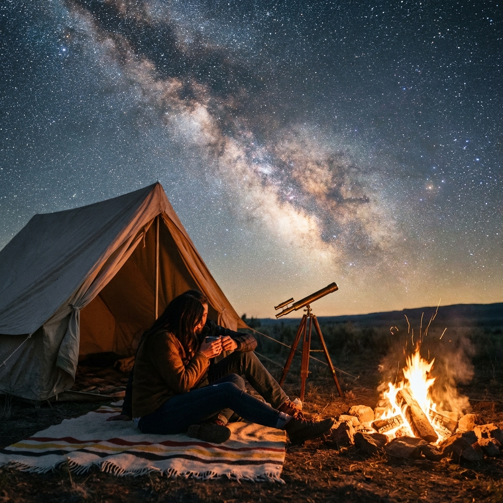
Back in 2023, after a failed attempt to photograph the Milky Way due to outdated light pollution maps, we realized there wasn't a truly real-time tool for modern stargazers. Most existing maps were static, based on data years old, and didn't account for current weather or astronomical events.
We built Darkest Hour to be the tool we always wanted. A live, breathing map that combines the latest satellite data with precise meteorological forecasts — so you always know exactly where to go for the best sky.
THE TEAM
Darkest Hour Team
Founders & Developers
A small team of software engineers and amateur astrophotographers based near the Aoraki Mackenzie International Dark Sky Reserve. We combine geospatial data engineering with hands-on observing experience to build tools astronomers actually need.
Research Contributors
Content & Data Team
Our guides are written by experienced amateur astronomers and astrophotographers who field-test every recommendation. All gear reviews use hands-on testing, not spec-sheet summaries.
How We Research & Write
Every guide on Darkest Hour follows a strict editorial process designed to ensure accuracy and usefulness:
Field-Tested Gear Reviews
We only recommend equipment we've used in the field. Every telescope, binocular, and camera recommendation comes from hands-on testing under real night skies.
Location Verification
Our stargazing location guides cross-reference NASA VIIRS satellite data with ground-level Sky Quality Meter (SQM) readings and community observer reports.
Regular Updates
Guides are reviewed and updated quarterly. Pricing, gear availability, and location access information are checked against current sources.
Transparent Affiliates
We are an Amazon Associate and may earn from qualifying purchases. Affiliate relationships never influence our recommendations — we recommend the best gear, period.
WHAT WE BELIEVE
Preservation
Promoting the preservation of dark sky environments for future generations.
Accessibility
Making the night sky accessible to everyone, regardless of technical expertise.
Data Accuracy
Providing the most accurate, real-time data from authoritative scientific sources.
Our Data Sources
Transparency is core to our mission. We aggregate data from the world's leading scientific organizations:
NASA VIIRS
High-resolution nighttime satellite imagery from the Visible Infrared Imaging Radiometer Suite for light pollution mapping.
Open-Meteo
Precision astronomical weather forecasting including atmospheric seeing and transparency conditions.
OpenStreetMap
Community-maintained mapping data for accurate location search and navigation.
NOAA SWPC
Space Weather Prediction Center data for geomagnetic storm forecasting and aurora (Kp index) predictions.
Get in Touch
Have questions, suggestions, or just want to share your latest night sky photo? We'd love to hear from you.